
Hawksbill Crag Whitaker Point Trail: Distance, Directions, Map, Sunrise & Safety Guide (2026)
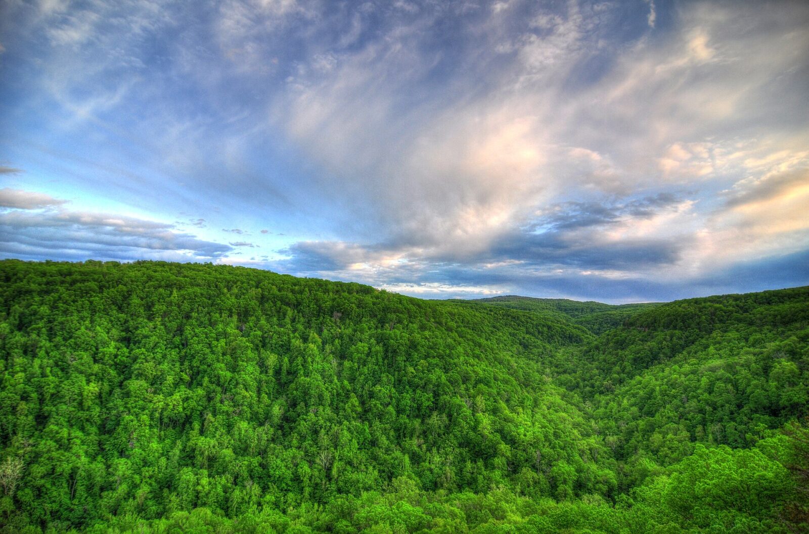
Hawksbill Crag Whitaker Point Trail overlook above the Ozark Mountains in Arkansas

Plan the Hawksbill Crag Whitaker Point Trail in Arkansas: about 3 miles round trip, Cave Mountain Road directions, trailhead coordinates, step-by-step route, Haley Falls, sunrise and fall color tips, camping, cliff safety and FAQs in simple words.
Centerpoint to Goat Trail: Big Bluff Hike, Map, Directions & Safety Guide (2026)

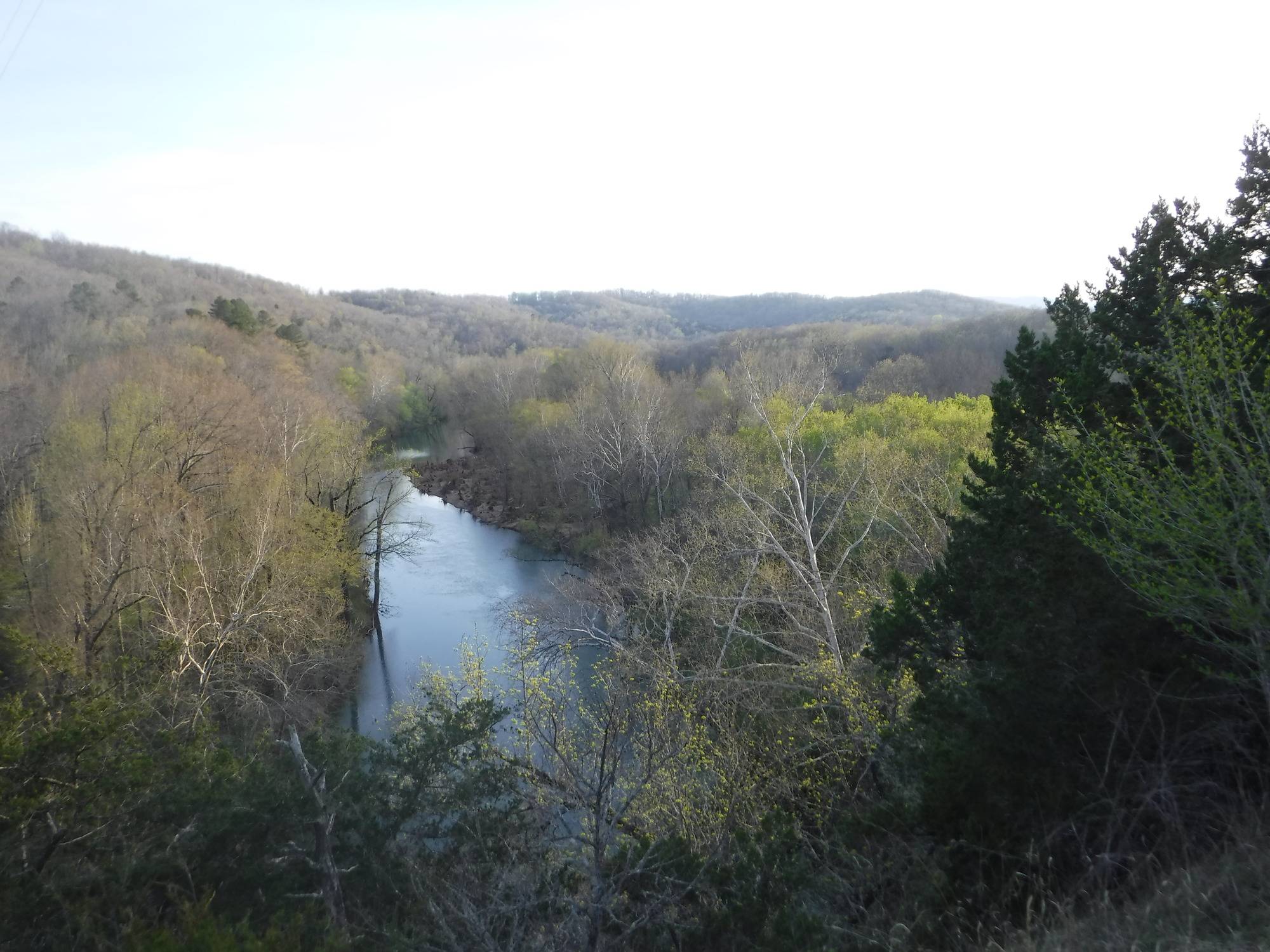
Buffalo National River in early spring, Arkansas, the river below Big Bluff and the Goat Trail

Plan the Centerpoint to Goat Trail hike to Big Bluff on the Buffalo National River near Ponca, Arkansas: 6 miles round trip, a 1,000-foot climb back, a narrow ledge over a 350-foot cliff, trailhead directions, parking, safety, best seasons and FAQs.