
From the floor of the Chihuahuan Desert, the Chisos Mountains look like an island of rock rising out of a sea of creosote and cactus. And the highest point on that island is Emory Peak. Stand on top, and the whole of Big Bend National Park spreads out below you: jagged ridges, green canyons full of oak and pine, and desert running all the way to the mountains of Mexico.
Getting there takes a full day. The Emory Peak Trail in Big Bend is 10.5 miles round trip with about 2,500 feet of climbing, and it ends with a short, exposed rock scramble that stops some hikers just below the summit. If you like a real challenge with a giant view at the end, it’s the best hike in the park.
This guide covers everything: the route step by step, the summit scramble, how much water you actually need, the best season, permits, the 2026 Chisos Basin news, and how Emory compares to the South Rim and Lost Mine Trail.
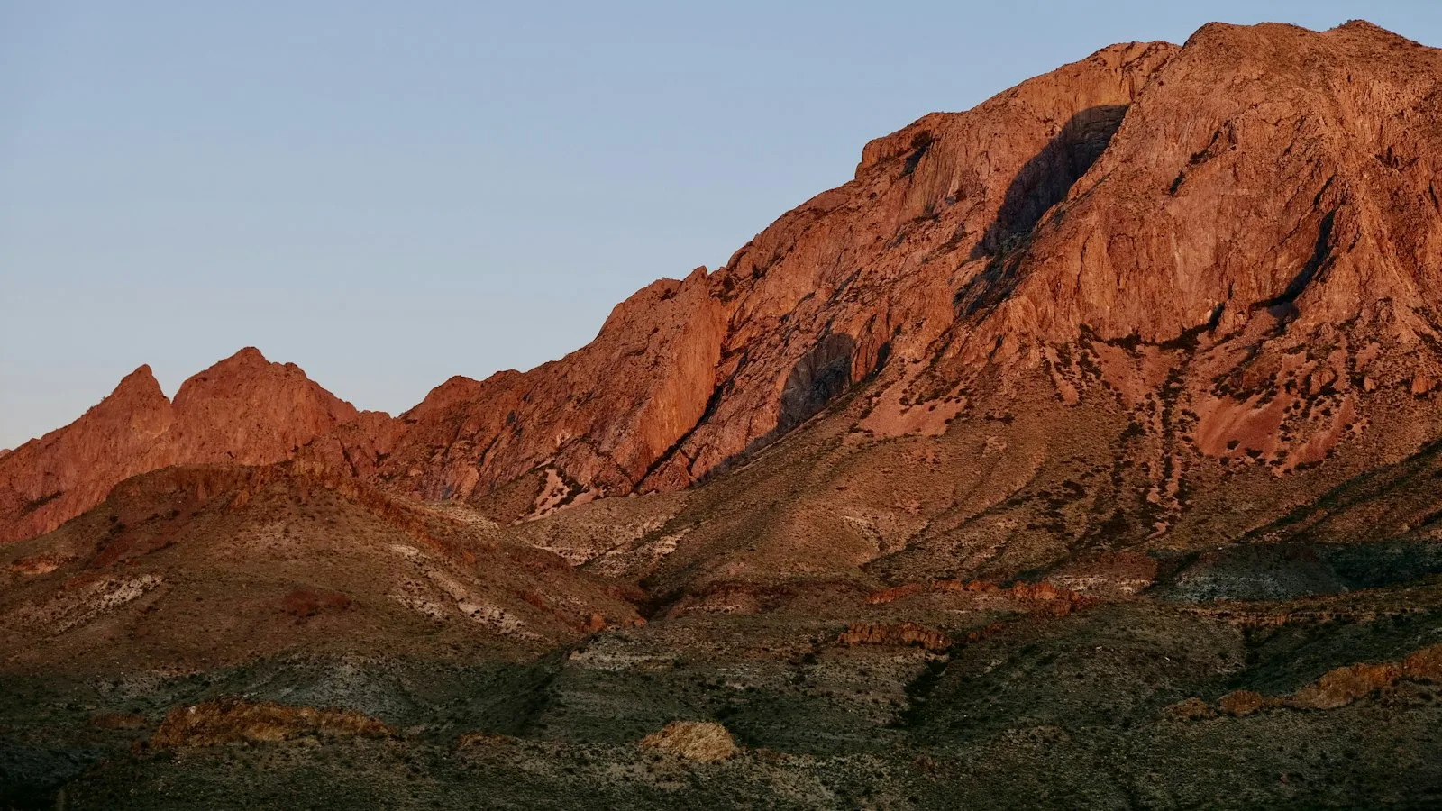
2026 update (November 2): Big Bend is fully open. The two-year Chisos Basin closure that was planned to start in May 2026 was cancelled in April, so the Emory Peak trailhead is open as normal. Ignore older articles that say otherwise. The Chisos Mountains Lodge restaurant has been closed, with a food truck operating outside the lodge, so bring your own trail food. November is also the start of Big Bend’s busy season, so arrive early for parking.
Emory Peak: The Short Answer
Emory Peak (7,825 feet) is the highest point in Big Bend National Park and the Chisos Mountains. The trail starts at the Chisos Basin trailhead and follows the Pinnacles Trail 3.8 miles to a junction, then the Emory Peak Trail 1.4 miles to the top: 10.5 miles round trip with about 2,500 feet of climbing. The National Park Service says to allow 6 to 8 hours and carry 1 liter of water per person per hour. The final 25 feet is an exposed rock scramble with no ropes or handholds. No permit is needed for a day hike; a park pass ($30 per vehicle) is required. Best season: October to April.
Quick Facts
| Detail | Information |
|---|---|
| Location | Chisos Mountains, Big Bend National Park, Texas |
| Summit elevation | 7,825 ft (some park materials list 7,832 ft) |
| Trailhead | Chisos Basin trailhead, near the Chisos Basin parking lot (about 5,400 ft) |
| Route | Pinnacles Trail 3.8 miles, then Emory Peak Trail 1.4 miles |
| Distance | 10.5 miles round trip |
| Elevation gain | About 2,500 ft |
| Time | 6 to 8 hours |
| Difficulty | Strenuous, with a short exposed scramble at the top |
| Water | NPS: 1 liter per person per hour (about 6 to 8 liters) |
| Entrance fee | $30 per vehicle for 7 days (cards only) |
| Day permit | Not needed |
| Dogs | Not allowed on trails |
| Best months | October to April |
| Avoid | The upper mile during thunderstorms (especially July to September) |
Where Is Emory Peak?
Emory Peak sits in the middle of the Chisos Mountains, the only mountain range in the U.S. that lies entirely inside a national park. It’s named for William H. Emory, the chief surveyor of the 1852 U.S.–Mexico Boundary Survey that mapped this wild stretch of the Rio Grande.
Although it’s not the highest mountain in Texas (that’s Guadalupe Peak at 8,751 feet), Emory rises about 4,500 feet above the land around it, which makes it the most prominent peak in Texas. That’s why the view from the top feels so huge.
| Driving to Chisos Basin from | Approximate time |
|---|---|
| Panther Junction Visitor Center | About 20 minutes |
| Terlingua / Study Butte | About 45 minutes to 1 hour |
| Alpine | About 2 hours |
| Marathon | About 1.5 hours |
| El Paso | About 5 hours |
| San Antonio | About 6.5 hours |
Trailhead and Parking
From the main park road, turn onto Chisos Basin Road (about 3 miles west of Panther Junction) and follow it about 6 miles up and over Panther Pass into the Basin. The road is paved but steep and twisty; the park doesn’t recommend trailers over 20 feet or RVs over 24 feet.
- Park in the main Chisos Basin lot by the visitor center and lodge. In Google Maps, search for “Chisos Basin Trailhead.”
- Restrooms and water: Available in the Basin. Fill every bottle before you start. There’s no water on the trail.
- Parking gets busy from November to April and especially over spring break. Arrive by 8 a.m.
- The trailhead is a signed starting point near the parking area. Follow signs for the Pinnacles Trail.
The Route at a Glance
| Section | Distance (one way) | What it’s like |
|---|---|---|
| Chisos Basin to Emory junction (Pinnacles Trail) | 3.8 miles | Steady climb, then steep switchbacks up to the high country |
| Emory Peak Trail to the summit area | 1.4 miles | Rockier and steeper, with the last quarter mile the steepest |
| Final summit scramble | About 25 vertical feet | Hands-on climbing up an exposed rock face |
| Total round trip | 10.5 miles | About 2,500 ft of climbing; 6 to 8 hours |
You’ll see 10 miles in some sources and 10.4 on GPS apps. The official NPS trail page says 10.5. Download the NPS Chisos Mountains Trails map from the park’s Maps page before you go, because cell service is unreliable.
Hiking Emory Peak: Step by Step
1. Out of the Basin (Miles 0 to 1.5)
The Pinnacles Trail leaves the Basin and climbs gently through grassland and scattered junipers, piñon pines and oaks, with the cliffs of Casa Grande and Toll Mountain towering ahead. Mornings here are often cool, and the low sun lights up the rocks. Settle into an easy pace. The real climbing comes later.

2. The Pinnacles Switchbacks (Miles 1.5 to 3.5)
This is the hardest climbing of the day. The trail zigzags up the steep slope below the jagged pinnacles that give it its name, gaining most of the hike’s elevation in about two miles. Much of it is in the sun. Take short, regular breaks, drink often, and look back. The views over the Basin and out through the famous “Window” get better with every turn.
3. The Emory Peak Junction (Mile 3.8)
At the top of the switchbacks, the trail eases into the cool high country, a forest of oak, maple, Arizona cypress and pine that feels nothing like the desert below. At about 3.8 miles, you’ll reach the signed junction where the Emory Peak Trail branches off.
This is your big decision point. Check the sky, your water, the time and how everyone feels. If storms are building, you’re low on water or it’s past early afternoon, this is a fine place to turn back. The views here are already excellent.
4. Up the Emory Peak Trail (Miles 3.8 to 5)
The spur trail climbs steadily through the trees, then gets rockier as it wraps around the mountain. The views keep opening: Boot Canyon, the South Rim, and ridge after ridge of the Chisos. The last quarter mile is the steepest section of trail, with big rock steps and loose stones. Go slow and watch your footing.
5. The Summit Scramble (Final 25 Feet)
The trail ends at the base of a rocky summit block. The National Park Service puts it plainly: the final 25 feet require a scramble up an exposed rock face, with no ropes, rails or handholds provided. You’ll use your hands and feet on natural holds in the rock, with a drop below you.
- Put your trekking poles away and strap down anything loose. You need both hands.
- Test every hold before you trust it.
- Think about the way down. Coming down is harder than going up. Face the rock and take it slowly.
- Don’t try it if the rock is wet, icy or windy, or if you’re uneasy with heights.
Plenty of people stop at the base of the scramble, and that’s a perfectly good finish. The view from just below the top is almost as good.
6. On Top of Big Bend
From the summit, you get a full 360-degree view. The Chisos ridges fall away on every side, the desert stretches toward the Rio Grande, and on clear days you can see the Sierra del Carmen and other mountains in Mexico. You’ll also see radio antennas and solar panels on the summit. They’re part of the park’s two-way radio system that rangers rely on for emergencies.
Fun fact: at certain times of year, thousands of ladybugs gather on the summit rocks.
7. Back Down to the Basin
Retrace your steps: down the spur, left onto the Pinnacles Trail, and down the long switchbacks to the Basin. The descent is hard on knees and the rocky steps can be slippery with loose gravel, so poles help a lot. Save at least a liter of water for this part.

How Hard Is Emory Peak?
It’s strenuous, one of the hardest day hikes in Big Bend. The challenge comes from three things together: 10.5 miles, 2,500 feet of climbing at altitude, and a scramble at the end.
- Beginners: Not a great first hike. Try the Lost Mine Trail (4.8 miles) first, then come back for Emory. Our hiking for beginners guide can help you build up.
- Fit hikers: A hard but very doable day.
- Kids: Only strong, experienced older kids, and hold them back from the scramble unless they’re truly comfortable on rock.
- Afraid of heights? The trail itself is fine. Just skip the final scramble.
- Dogs: Not allowed on any Big Bend trail.
How Long Does It Take?
| Stage | Typical time |
|---|---|
| Basin to the Emory junction | 2 to 3 hours |
| Junction to the summit | 45 minutes to 1.5 hours |
| Summit time | 15 to 30 minutes |
| Back to the Basin | 2 to 3 hours |
| Total | 6 to 8 hours |
When to start: By 8 a.m. at the latest, and earlier on warm days. In November and December, the sun sets around 5:45 to 6 p.m., so a late start can leave you coming down in the dark. Carry a headlamp either way.
How Much Water Do You Need?
More than most people think. The National Park Service recommends 1 liter per person per hour of hiking. For a 6- to 8-hour hike, that’s 6 to 8 liters, more in hot weather. In cool winter weather you may drink a little less, but carry it anyway.
- There’s no reliable water on the route. Don’t count on springs.
- Bring salty snacks. In the dry air, sweat evaporates so fast you may not notice how much salt you’re losing.
- Turn around at half your water. If you’ve used half by the junction, head down.
- Know the signs of heat illness: headache, dizziness, nausea, cramps, confusion. Stop, find shade and cool down. Confusion or collapse is an emergency.
Best Time to Hike Emory Peak
| Season | What to expect |
|---|---|
| October to November | Excellent. Mild days, clear skies and fall color on the maples in the high country. Busy on weekends. |
| December to February | Cool to cold, often great hiking. Freezing mornings, and snow or ice can coat the summit rock. Skip the scramble if it’s icy. |
| March to April | Warm, windy and the busiest time (spring break). Wildflowers. Start very early. |
| May to June | The hottest months. The Chisos are cooler than the desert, but still risky. Start at dawn or choose a shorter hike. |
| July to September | Monsoon season. The NPS warns not to attempt the last mile when thunderstorms threaten. Be off the peak by early afternoon. |
Best months: October, November, February and March.
Safety on Emory Peak
- Lightning: The summit is the highest point for miles, with metal antennas on top. Leave at the first sign of a storm.
- Falls: Most injuries happen on the scramble or on loose rock coming down.
- Heat and dehydration: Carry enough water and start early.
- Wildlife: Black bears and mountain lions live in the Chisos. Keep kids close, never run from a mountain lion, and never feed animals. Watch for snakes on warm days.
- Don’t build cairns. The park asks hikers not to stack rocks, because random cairns lead people off trail.
- Stay together: Make sure someone is always with the slowest person in your group.
What to Pack
- 6 to 8 liters of water per person, in a pack with room to carry it
- Lunch and salty snacks
- Hiking shoes or boots with sticky soles for the scramble
- Sun hat, sunglasses, sunscreen and light long sleeves
- A warm layer and wind jacket for the summit (see our waterproof hiking jacket picks)
- Trekking poles for the switchbacks (see our budget trekking poles)
- A headlamp (see our budget headlamp picks)
- Offline map, first-aid kit and a whistle
- A bag to pack out toilet paper and all trash
Fees, Permits and Camping
- Entrance fee: $30 per private vehicle, $25 per motorcycle, or $15 per person on foot or bike, all valid for 7 days. The Big Bend annual pass is $55. Cards only, no cash.
- Day hike: No permit needed.
- Backpacking: Camping in the Chisos high country is allowed only at its 42 designated campsites, with a backcountry permit. From November 1 to April 15, reserve on Recreation.gov (up to 6 months ahead). From April 16 to October 31, get permits in person at Panther Junction or the Chisos Basin Visitor Center, up to 24 hours before your trip. Groups are limited to 15 people.
- Food storage: Bears, javelinas and birds raid campsites. Use the bear boxes provided at the sites.
- Chisos Basin Campground: The closest campground to the trailhead, perfect for an early start. Book ahead in season.
Emory Peak vs. South Rim vs. Lost Mine
| Hike | Distance | Climbing | Highlight | Best for |
|---|---|---|---|---|
| Emory Peak | 10.5 miles | About 2,500 ft | Highest point in the park; 360° view | Summit lovers who can handle a scramble |
| South Rim | About 12 to 14.5 miles | About 2,000 ft | A sheer escarpment 2,500 ft above the desert | Long-distance hikers; the most famous view |
| Lost Mine Trail | 4.8 miles | About 1,100 ft | Ridge views into Mexico | A half day or a first Chisos hike |
Doing Emory and the South Rim together: Very fit hikers sometimes add Emory Peak to a South Rim loop, making a 15-mile-plus day with over 3,000 feet of climbing. It’s an epic but very long outing. Most people are better off doing them on separate days, or as an overnight with a reserved campsite.
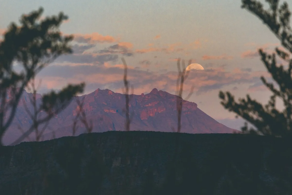
Is Emory Peak Near the Mariscal Canyon Rim Trail?
No. People sometimes search for them together, but they’re in completely different parts of the park. Emory Peak is in the Chisos Mountains in the center of Big Bend. The Mariscal Canyon Rim Trail is far to the south on the Rio Grande, at the end of a long, rough dirt road (River Road) that needs a high-clearance vehicle. They don’t share a trailhead and can’t be combined into one hike.
Where to Stay
- Chisos Mountains Lodge: The only lodge in the park, steps from the trailhead. Its reconstruction is on hold, and the restaurant has been closed with a food truck serving guests, so check current services when you book.
- Chisos Basin Campground: The easiest way to get an early start.
- Terlingua and Study Butte: Quirky desert towns outside the west entrance with cabins, rentals, motels and restaurants, about an hour from the trailhead.
- Rio Grande Village and Cottonwood campgrounds: Inside the park, but farther from the Basin (about 45 minutes to 1 hour).
A Sample Emory Peak Day
- 7:00 a.m.: Park in the Chisos Basin, fill your water and start up the Pinnacles Trail.
- 9:30 a.m.: Reach the Emory Peak junction. Snack, check the weather and your water.
- 10:45 a.m.: Summit (or the base of the scramble). Lunch with a view.
- 11:30 a.m.: Start down.
- 2:30 p.m.: Back in the Basin. Rest, then catch sunset at the Window View Trail, a flat 0.3-mile path near the lot.
Common Mistakes to Avoid
- Carrying too little water. Plan on 6 to 8 liters.
- Starting late. Heat, storms and early sunsets catch people out.
- Trusting old closure news. The 2026 Chisos Basin closure was cancelled.
- Climbing the summit block in wind, rain or ice.
- Going up the last mile during a thunderstorm.
- Bringing the dog. Pets aren’t allowed on Big Bend trails.
- Not saving energy for the descent. Four-plus miles of downhill wear out tired legs.
Emory Peak FAQs
How long is the Emory Peak Trail?
10.5 miles round trip from the Chisos Basin, according to the National Park Service: 3.8 miles on the Pinnacles Trail plus 1.4 miles on the Emory Peak Trail, each way.
How long does it take to hike Emory Peak?
6 to 8 hours for most hikers.
How hard is Emory Peak?
Strenuous. You climb about 2,500 feet over 10.5 miles, and the final 25 feet is an exposed rock scramble.
How tall is Emory Peak?
7,825 feet (some park sources say 7,832). It’s the highest point in Big Bend National Park.
Is Emory Peak the highest point in Texas?
No. Guadalupe Peak (8,751 feet) is higher. Emory Peak is the highest in Big Bend and the most prominent peak in Texas.
Do you need to climb the rock at the top?
Only if you want to stand on the very highest point. It’s a 25-foot exposed scramble without ropes. Many hikers stop at the base and still get great views.
How much water should I bring?
The NPS says 1 liter per person per hour, so about 6 to 8 liters for this hike.
Is the Emory Peak Trail open in 2026?
Yes. The planned Chisos Basin closure was cancelled, and the park is fully open. Check NPS alerts for short-term changes.
Do you need a permit to hike Emory Peak?
No permit for a day hike, just a park entrance pass. Overnight trips need a backcountry permit.
Are dogs allowed on the Emory Peak Trail?
No. Pets aren’t allowed on any trail in Big Bend National Park.
What are the antennas on top of Emory Peak?
They’re part of Big Bend’s two-way radio system, which rangers use for communication and emergencies.
Is Emory Peak Worth It?
For strong hikers, absolutely. It’s the best summit in Big Bend: a long climb out of the desert into a cool mountain forest, a little rock-climbing thrill at the end, and a view that takes in the whole wild corner of Texas and a good piece of Mexico.
Start early, carry more water than feels sensible, watch the sky, and remember that the base of the summit rock is a perfectly honorable place to turn around. The mountain will be there for your next visit.