

Walk a few minutes up the Hoh River Trail and the world goes green. Giant Sitka spruce and western hemlock tower overhead, bigleaf maples drip with moss, ferns carpet the ground, and the milky glacial water of the Hoh River rushes somewhere through the trees. It’s one of the best temperate rainforests on Earth, and you can enjoy it on a one-hour stroll.
Or you can keep going. The same trail runs about 17 miles up the valley into the Olympic Mountains, climbing to Glacier Meadows and a viewpoint over the Blue Glacier on Mount Olympus. That’s a serious multi-day backpacking trip with river fords, avalanche chutes and a rope ladder.
This guide covers both: short rainforest hikes, Mineral Creek Falls and Five Mile Island for day hikers, and campsites, permits, the ladder and Blue Glacier for backpackers, plus directions, the best season and current 2026 conditions.
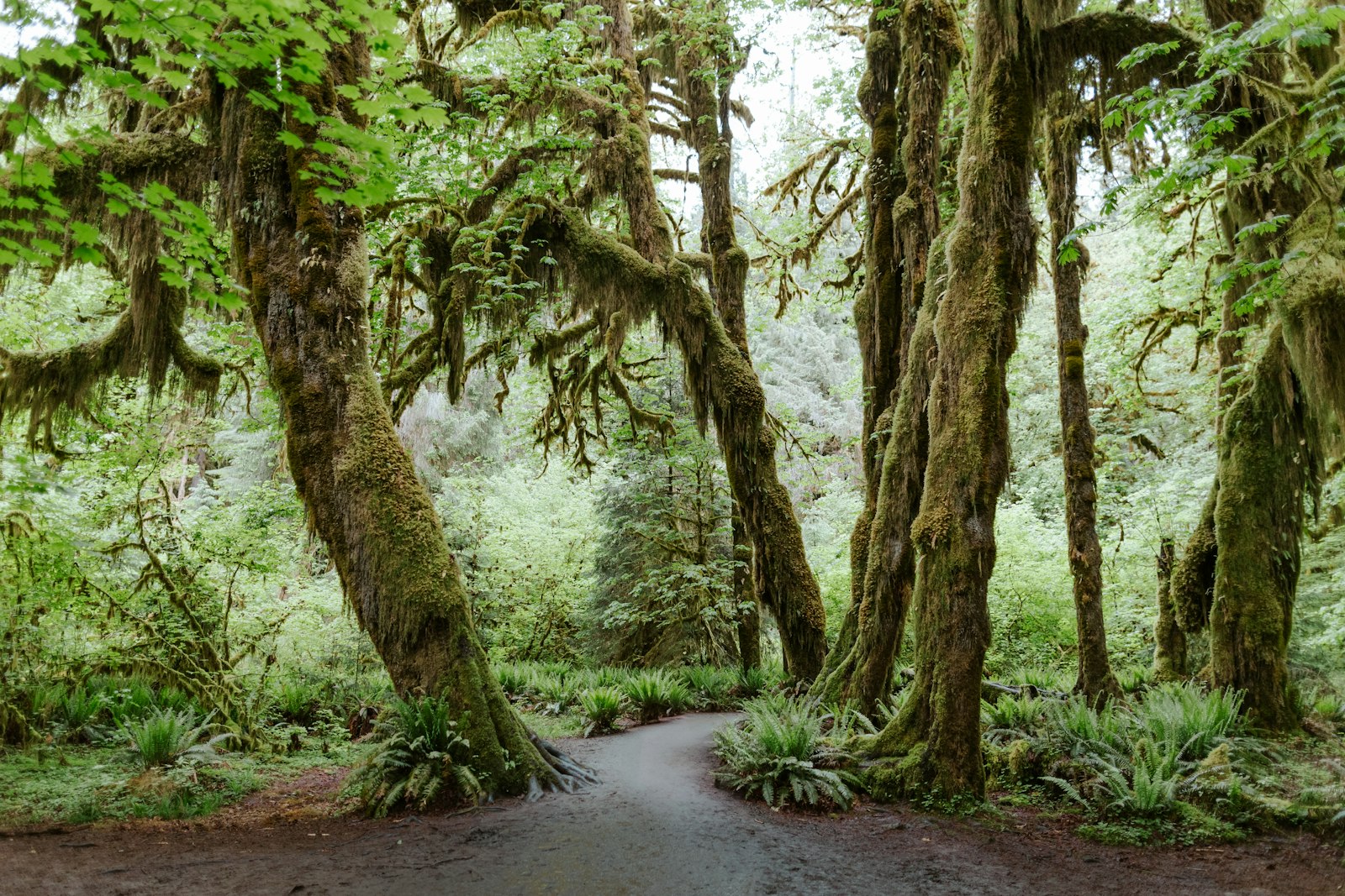
Cover photo: the trail through the Hoh Rain Forest. Photo: Richard Hedrick / Unsplash
Hoh River Trail: The Short Answer
The Hoh River Trail starts at the Hoh Rain Forest Visitor Center in Olympic National Park, Washington, and runs 17.3 miles up the Hoh Valley to Glacier Meadows (about 3,700 feet of climbing), with Blue Glacier views about 0.9 mile farther. The first 13 miles are nearly flat. Day hikers usually turn around at the river (0.9 mile), Mineral Creek Falls (about 2.7 miles) or Five Mile Island (about 5 miles). Backpackers need a wilderness permit from Recreation.gov and a bear canister.
Hoh River Trail: Quick Facts
| Detail | Information |
|---|---|
| Location | Hoh Rain Forest, west side of Olympic National Park, Washington |
| Trailhead | Hoh Rain Forest Visitor Center, end of Upper Hoh Road |
| Trail type | Out and back |
| To Glacier Meadows | 17.3–17.4 miles one way, about 3,700 feet of gain |
| To Blue Glacier viewpoint | About 0.9 mile and 700 feet more beyond Glacier Meadows (roughly 18.2–18.5 miles one way) |
| Elevation range | About 600 to 4,300 feet (higher at the moraine) |
| Lower trail difficulty | Easy (flat for about 13 miles) |
| Full trip difficulty | Strenuous, multi-day |
| Rainfall | Up to 12 feet a year |
| Day hike permit | None (park entrance pass only) |
| Overnight permit | Required, reserve on Recreation.gov |
| Bear canister | Required for camping |
| Pets | Not allowed on trails |
| Best season for the upper trail | Late June through September |
Where Is the Hoh River Trail?
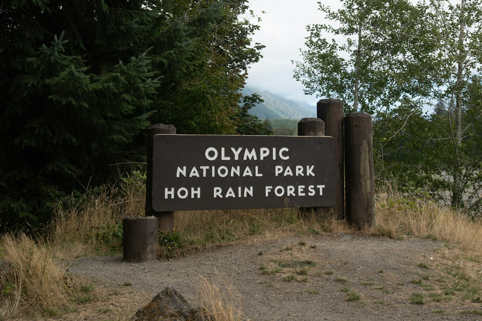
The trail is in the Hoh Rain Forest on the western side of Olympic National Park, on Washington’s Olympic Peninsula. The nearest town is Forks, about an hour’s drive away. To get there, leave US-101 about 13 miles south of Forks and turn east onto Upper Hoh Road. Follow it roughly 18 miles through the river valley and the park entrance station to the visitor center at the end of the road. From Seattle, plan on 4 to 4.5 hours of driving.
Entry tip: On summer days, the line at the Hoh entrance station can back up for an hour or more, and the parking lot fills by late morning. Arrive before 9 a.m. or after 4 p.m.
How Long Is the Hoh River Trail? Every Turnaround Point
Because it’s out and back, you can turn around anywhere. Here are the most popular goals:
| Destination | One way | Round trip | Best for |
|---|---|---|---|
| First Hoh River view | 0.9 mile | 1.8 miles | A short rainforest walk |
| Mineral Creek Falls | About 2.7 miles | About 5.5 miles | Half-day hike with a waterfall |
| Cedar Grove | About 4 miles | About 8 miles | Longer, quieter forest walk |
| Five Mile Island | About 5 miles | About 10 miles | Full-day hike or first night’s camp |
| Olympus Guard Station | About 9.5 miles | About 19 miles | Overnight trip |
| Glacier Meadows | 17.3–17.4 miles | About 35 miles | Multi-day backpacking |
| Blue Glacier moraine viewpoint | About 18.2–18.5 miles | About 37 miles | Experienced backpackers |
Hoh River Trail Difficulty
- Day hikes (up to Five Mile Island): easy. The trail is wide and nearly flat, with roots, mud and small stream crossings. The only challenge is the distance if you go far.
- Overnights to Olympus Guard Station or Lewis Meadow: moderate. Still fairly flat, but you’re carrying a full pack and may need to ford streams.
- Glacier Meadows and Blue Glacier: strenuous. After about 13 miles, the trail climbs steeply, crosses a high bridge over a deep gorge, passes Elk Lake, and goes through an avalanche chute with a rope ladder before Glacier Meadows. Not a good first backpacking trip.
Hoh River Trail Map and Route
The route follows the river the whole way: Hoh Rain Forest Visitor Center → river view → Mineral Creek Falls → Cedar Grove → Five Mile Island → Happy Four → Olympus Guard Station → Lewis Meadow → Martin Creek → Elk Lake → Glacier Meadows → Blue Glacier moraine.
The lower trail is easy to follow. Above Elk Lake, early-season snow can hide the route, and the park notes that map and compass skills may be needed. For overnight trips, carry a topographic map of the Olympic Mountains plus an offline GPS app, and pick up the free Hoh Rain Forest brochure at the visitor center.
Hoh River Trail Day Hikes: Step by Step
1. Into the Rainforest
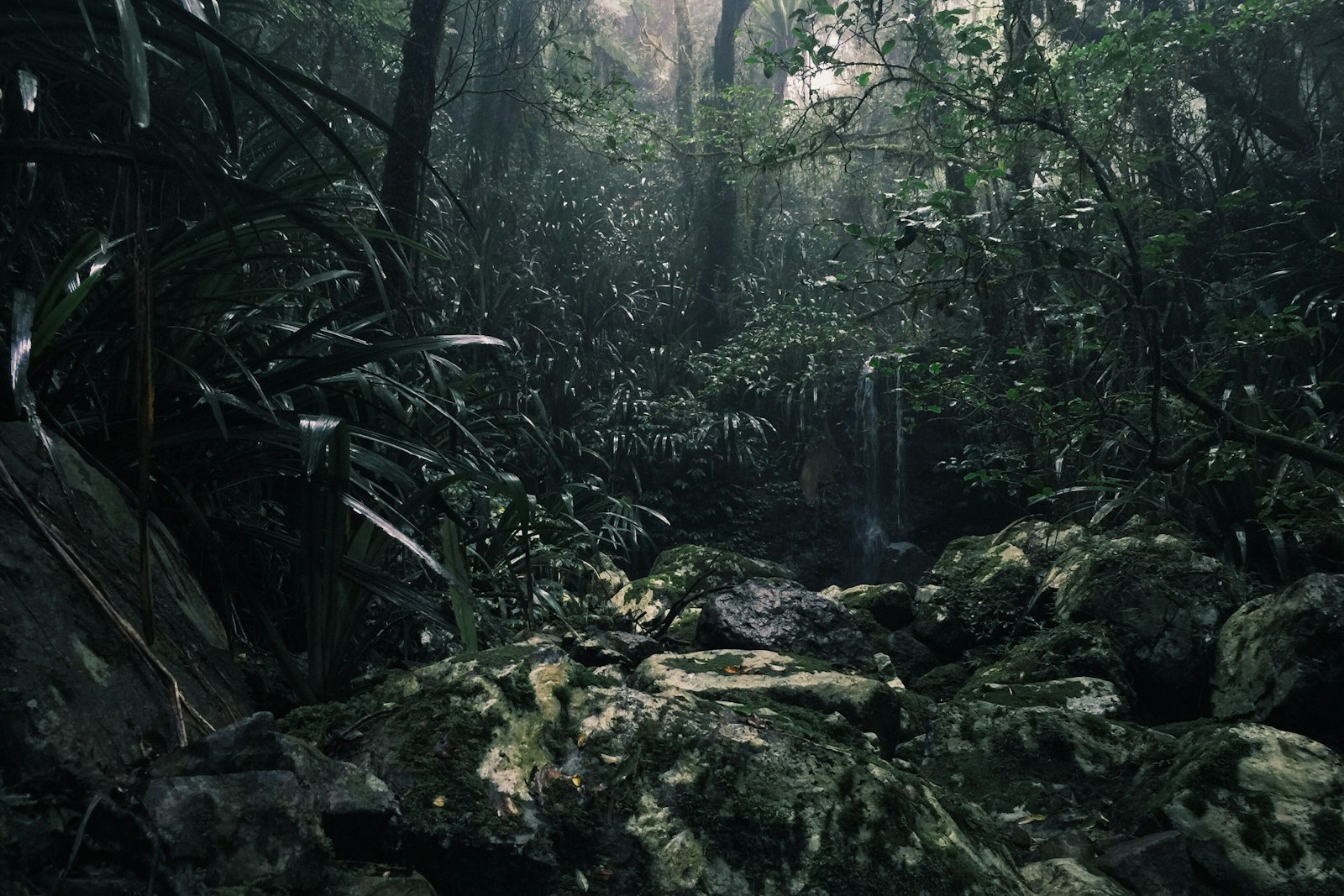
From the visitor center, follow signs for the Hoh River Trail. Within minutes you’re under some of the biggest trees in the Lower 48. The Hoh gets up to 12 feet of rain a year, and it shows: mosses and ferns cover nearly every surface, and fallen “nurse logs” sprout rows of young trees. Bigleaf maples, wrapped in moss, are the most photographed trees here.
2. First Hoh River View (0.9 mile)
Under a mile in, the trail reaches the river. The Hoh is a milky gray-blue from “glacial flour,” fine rock ground up by the glaciers on Mount Olympus. It’s a perfect turnaround for families or if you only have an hour. Keep kids back from the banks; the water is cold and fast.
3. Mineral Creek Falls (about 2.7 miles)
The trail stays flat and green to Mineral Creek Falls, a pretty, mossy cascade on a side creek, right beside the trail. It’s the most popular day-hike goal: about 5.5 miles round trip and 2.5–4 hours with stops. It’s best after rain, when the falls are full.
4. Cedar Grove (about 4 miles)
Past the falls, the crowds thin. Around 4 miles, a stand of big western red cedars makes a good turnaround for an 8-mile day.
5. Five Mile Island (about 5 miles)
Despite the name, it’s not an island you have to reach by boat. Five Mile Island is a camp area beside wide gravel bars on the Hoh, with open river views and, often, Roosevelt elk grazing nearby. As a day hike it’s about 10 miles round trip and 4–6 hours. Backpackers often use it as an easy first night.
Wildlife: Roosevelt Elk and More
About 400–500 Roosevelt elk live in the Hoh Valley, and you have a good chance of seeing them along the trail or in the meadows. Black bears, Douglas squirrels, banana slugs and many birds live here too. Stay at least 50 yards from elk and bears. Bull elk can be aggressive, especially during the fall rut (September and October).
Hoh River Trail Backpacking
The Hoh is one of Olympic’s classic backpacking trips. Most people take 3–5 days to reach Glacier Meadows and the Blue Glacier viewpoint and get back. Four days is a comfortable plan for fit, experienced backpackers.
Hoh River Trail Campsites
| Camp | Approx. miles from trailhead | Sites |
|---|---|---|
| Tom Creek | Lower valley | 3 individual, 1 group |
| Five Mile Island | About 5 | 3 individual, 2 group, 1 stock |
| Happy Four | About 5.8 | 2 individual |
| Olympus Guard Station | About 9.5 | 7 individual, 2 group |
| Lewis Meadow | About 10.5 | 2 individual, 1 group, 1 stock |
| Elk Lake | About 15 | 7 individual, 1 group, 1 stock (0.5 mile below the lake) |
| Glacier Meadows | 17.3–17.4 | 11 individual, 1 group |
Site counts are from the National Park Service. Some trips also use permitted gravel-bar camping along the lower river, but the Hoh can rise fast in heavy rain, so never camp low on a gravel bar when a storm is coming.
Lewis Meadow and Olympus Guard Station
These are the most popular middle camps. The trail is still fairly flat, and the meadows and river views are lovely. The park’s 2026 trail report noted two stream crossings before the Olympus Guard Station camps that may need to be forded. They can be easy in late summer and dangerous after heavy rain or fast snowmelt. If the water looks too fast or deep, wait or turn back.
Elk Lake
Around 13 miles, the trail finally starts to climb. It crosses a dramatic high bridge over the Hoh’s deep gorge, then switchbacks up to Elk Lake, a small forest lake. The camps are half a mile below the lake. No campfires are allowed above Martin Creek, so Elk Lake and Glacier Meadows are stove-only.
The Ladder and Glacier Meadows
Shortly before Glacier Meadows, the trail is washed out in an avalanche chute. Hikers use a rope ladder to get down a steep, loose rock slope, then climb out the other side, all with a full pack. The park’s trail notes describe it, and a 2026 report said the ladder had several broken or missing rungs. That may have been repaired or may have gotten worse, so call the Wilderness Information Center before you go, and turn around if it doesn’t look safe.
Glacier Meadows (about 4,300 feet) is a camp in subalpine forest below the mountain’s glaciers. Many backpackers set up camp here and walk to the Blue Glacier with just a daypack.
Hoh River Trail to Blue Glacier
From Glacier Meadows, a trail climbs about 700 feet in 0.9 mile onto the lateral moraine of the Blue Glacier. Suddenly you’re looking across a huge, cracked river of ice flowing off Mount Olympus (7,980 feet), the highest peak in the Olympics. It’s a wild contrast to the rainforest you started in.
- Stay on the moraine. Going onto the glacier means crevasses and needs glacier travel and crevasse rescue skills.
- Climbing Mount Olympus is a mountaineering trip, not a hike, and only for experienced climbers.
- Snow: in spring and early summer, steep snow can cover the upper trail, and the park says an ice axe may be needed.
Permits and Rules
- Day hiking: No permit, just an Olympic National Park entrance pass (or America the Beautiful pass).
- Overnight: A wilderness camping permit is required. Reserve your campsites on Recreation.gov ahead of time; summer weekends book up.
- Quotas: The busiest camps, including Elk Lake and Glacier Meadows, have limited spots.
- Bear canisters: Required. All food, trash and scented items go inside.
- Groups over 6 must use designated group sites.
- Campfires: Not allowed above Martin Creek. Below it, use dead and down wood only.
- No pets on any trail.
Best Time to Hike the Hoh River Trail
| Season | Lower trail | Upper trail (Elk Lake and above) |
|---|---|---|
| Spring (March–May) | Very green, wet, waterfalls full, fewer people | Snow, avalanche danger; not recommended |
| Summer (June–August) | Driest season, busiest, long entry lines | Best from late June on, once snow clears |
| September | Quieter, elk rut begins | Good, but early storms possible |
| October–November | Moody, misty and beautiful; heavy rain returns | Increasingly wintry |
| Winter (December–February) | Open when Upper Hoh Road is open; visitor center closed January–February | Avalanche terrain above Elk Lake; not recommended |
Rain is part of the experience here. A misty, drizzly day often makes the rainforest look its best, so don’t cancel a day hike just for showers.
Hoh River Trail Conditions (Late October 2026)
- Access: The Hoh Rain Forest area and Upper Hoh Road are open. (Upper Hoh Road has been washed out by floods in past winters, so always check before driving.)
- US-101 Hoh River Bridge: Repair closures ran through September and October 2026, with the last overnight closures scheduled October 13–19. The Hoh Rain Forest stayed reachable from Forks throughout. The bridge is down to one lane with alternating traffic until a permanent fix, so allow extra time if you’re coming from Kalaloch or the south.
- Upper trail: Expect fall rain, high creeks, downed trees and early snow above Elk Lake. Check the ladder and ford conditions with the Wilderness Information Center before any overnight trip.
Is the Hoh River Trail Dangerous?
- Fast water: Streams and the Hoh rise quickly after rain. Never ford water above your knees or moving fast.
- Elk and bears: Keep 50 yards away, especially from bull elk in fall.
- Falling trees: Avoid the forest in strong wind storms.
- The ladder and avalanche chute: Steep, loose and exposed with a heavy pack.
- Hypothermia: Being wet and cold for days is the most common real risk. Pack good rain gear and dry layers.
What to Pack
Day hike: waterproof shoes or boots, a good rain jacket (see our waterproof hiking jacket guide), a warm layer, water, snacks, an offline map and a small first-aid kit.
Backpacking: everything above, plus a waterproof tent, a warm sleeping bag, a stove (fires are banned up high), a water filter, a bear canister, your permit, a headlamp, a topo map and compass, pack liners to keep gear dry, and an ice axe if there’s snow above Elk Lake. Our ultralight backpacking gear list can help you cut weight.
Hoh River Trail vs. Hall of Mosses vs. Spruce Nature Trail
| Trail | Distance | Climb | Best for |
|---|---|---|---|
| Hall of Mosses | 0.8-mile loop | About 100 feet | The famous moss-draped maples |
| Spruce Nature Trail | 1.2-mile loop | Under 100 feet | Forest and a stretch along the river |
| Hoh River Trail to river view | 1.8 miles round trip | Minimal | A quiet taste of the main trail |
| Hoh River Trail to Mineral Creek Falls | About 5.5 miles round trip | Minimal | A waterfall and deeper forest |
| Hoh River Trail to Five Mile Island | About 10 miles round trip | Minimal | A long, easy day hike |
Photography Tips
- Cloudy days are best. Soft light makes the greens glow and avoids harsh spots of sun.
- Look small: nurse logs, fern fronds, mushrooms and moss textures make great close-ups.
- Mineral Creek Falls: a slow shutter turns the water silky.
- Keep gear dry: carry a lens cloth and a rain cover.
Sample Plans
One day in the Hoh: Arrive early, walk the Hall of Mosses and Spruce Nature Trail, then hike the Hoh River Trail to Mineral Creek Falls for lunch. Spend the evening at Ruby Beach or in Forks.
Four-day backpack to Blue Glacier (experienced hikers):
- Day 1: Trailhead to Olympus Guard Station or Lewis Meadow (about 9.5–10.5 flat miles).
- Day 2: Climb past Elk Lake to Glacier Meadows (about 7 miles, steep). Check the ladder first.
- Day 3: Morning side trip to the Blue Glacier moraine, then descend to Elk Lake or Lewis Meadow.
- Day 4: Walk out to the trailhead.
Where to Stay Near the Hoh River Trail
- Hoh Rainforest Campground: 88 sites right by the trailhead, open year-round, with water, restrooms and food lockers. Reserve in summer on Recreation.gov.
- Forks: motels, cabins, restaurants and supplies, about an hour away.
- Kalaloch: coastal lodge and campground south of the Hoh River. Check US-101 bridge status before booking.
Exploring more of Washington? See our guides to Mount Storm King (also in Olympic National Park), the Skyline Trail at Mount Rainier, Colchuck Lake and the Maple Pass Loop. For another fern-filled walk under Sitka spruce, see the Fern Canyon hike in California.
Hoh River Trail FAQs
How long is the Hoh River Trail?
17.3–17.4 miles one way to Glacier Meadows, and about 18.2–18.5 miles to the Blue Glacier viewpoint, so roughly 35–37 miles round trip.
Is the Hoh River Trail hard?
The first 13 miles are nearly flat and easy. The last section to Glacier Meadows and Blue Glacier is steep and strenuous, with a rope ladder in an avalanche chute.
How far is Mineral Creek Falls on the Hoh River Trail?
About 2.7 miles one way, roughly 5.5 miles round trip.
How far is Five Mile Island?
About 5 miles one way, so roughly 10 miles round trip.
Do you need a permit for the Hoh River Trail?
Not for day hikes, just a park entrance pass. Overnight trips need a wilderness camping permit reserved on Recreation.gov, and bear canisters are required.
What campsites are on the Hoh River Trail?
Tom Creek, Five Mile Island, Happy Four, Olympus Guard Station, Lewis Meadow, Elk Lake and Glacier Meadows.
What is the ladder on the Hoh River Trail?
A rope ladder down a steep, loose slope where an avalanche chute washed out the trail, shortly before Glacier Meadows. It was reported damaged in 2026, so check current conditions with the park.
How many days do you need to hike to Blue Glacier?
Most people take 3–5 days. Four days is a comfortable plan for experienced backpackers.
Can you have a campfire on the Hoh River Trail?
Only below Martin Creek, using dead and down wood. Fires aren’t allowed at Elk Lake or Glacier Meadows.
Are dogs allowed on the Hoh River Trail?
No. Pets aren’t allowed on trails in Olympic National Park.
Is the Hoh River Trail open in winter?
The lower rainforest trail is usually open when Upper Hoh Road is open, though the visitor center closes in January and February. Travel above Elk Lake in winter isn’t recommended because of avalanche chutes.
Is the Hoh River Trail Worth It?
Absolutely. Few trails let you choose between a gentle hour among mossy giants and a four-day trek to a glacier. Even a short walk here feels like stepping into another world.
Pick the distance that fits you, bring real rain gear, keep your distance from the elk, and if you’re heading for Blue Glacier, book your permit early and check the river fords and ladder before you go.